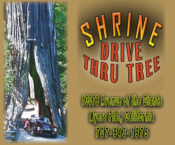


Your Guide to Activities, Lodging, Dining, Shopping & More


25
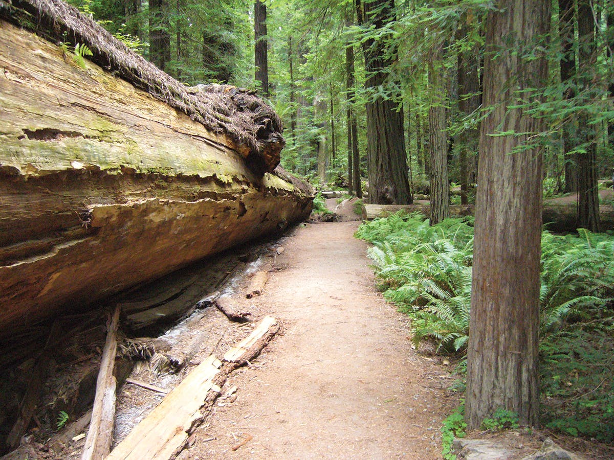
Redwood Hiking Trails
Humboldt Redwoods State Park has hundreds of miles of trails — there are so many it's hard to decide where to hike. View our map on pages 28 and 29 to see the location of different trailheads along the Avenue of the Giants. Listed here are the five best hikes chosen by the volunteers of the Humboldt Redwoods Interpretive Association who staff the Visitor Center. There is also a map available at the Visitor Center for a small fee, clearly marking the location of the trails in the park. 1. Founder's Grove Nature Loop Trail. An easy hike, about half a mile in total. The trailhead is easy to find off the Avenue of the Giants about four miles north of the Visitor Center. 2. Rockefeller Loop Trail in Rockefeller Forest. The trailhead is off Mattole Road, about a mile west of where Mattole Road joins the Avenue of the Giants, four miles north of the Visitor Center. In this short hike, which is about half a mile long, hikers will find 13 of the world's 100 tallest trees. 3. Bull Creek Trail North/South Loop. This is a seven-mile round-trip hike through the Bull Creek State Wilderness. At 10,000 acres, it is the largest section of old-growth redwood forest left. This trail is accessed off the Rockefeller Loop Trail or the Big Tree Day Use Area on Mattole Road. Making this a loop is dependent on seasonal bridges; when bridges are out, one trail or the other can be done as an out and back. 4. Johnson Camp Trail. This 10-mile round-trip trail has some steep sections as it climbs to a backcountry camp. Hikers will find deserted cabins the loggers once slept in, along with other artifacts from the heyday of logging. This is also an equestrian trail, so hikers may encounter horseback travelers along the way. The trailhead is about 6 miles west on Mattole Road, across from the Albee Creek Campground. 5. Grasshopper Multiuse Trail. This is a 14-mile round-trip that takes hikers to the fire lookout atop Grasshopper Peak, which tops out at 3,379 ft. It is an 8-hour round trip for average hikers who will enjoy stunning views of the entire park from the lookout. There is a backcountry campground just below the peak. This trail is also open to horses and bicycles. Access the trail from the Johnson Camp trailhead, or when seasonal bridges are in, from the River Trail near the Visitor Center.